Understanding an object in orbit depends on when and how it can be observed. A brief flyby may provide one useful view while leaving other surfaces hidden or blurred by relative motion. Holding a more favorable observing geometry for longer can change the information available to an analyst. The operational question is not simply whether an image was captured, but which uncertainty the new observations can actually resolve.
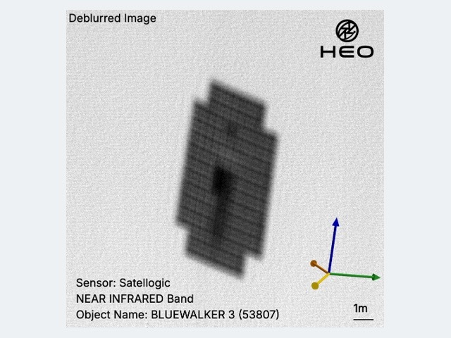
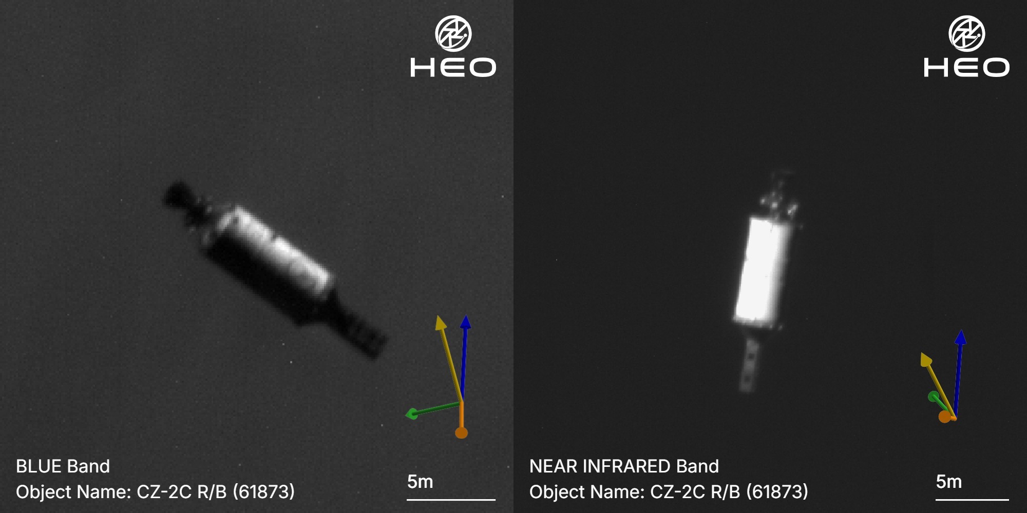
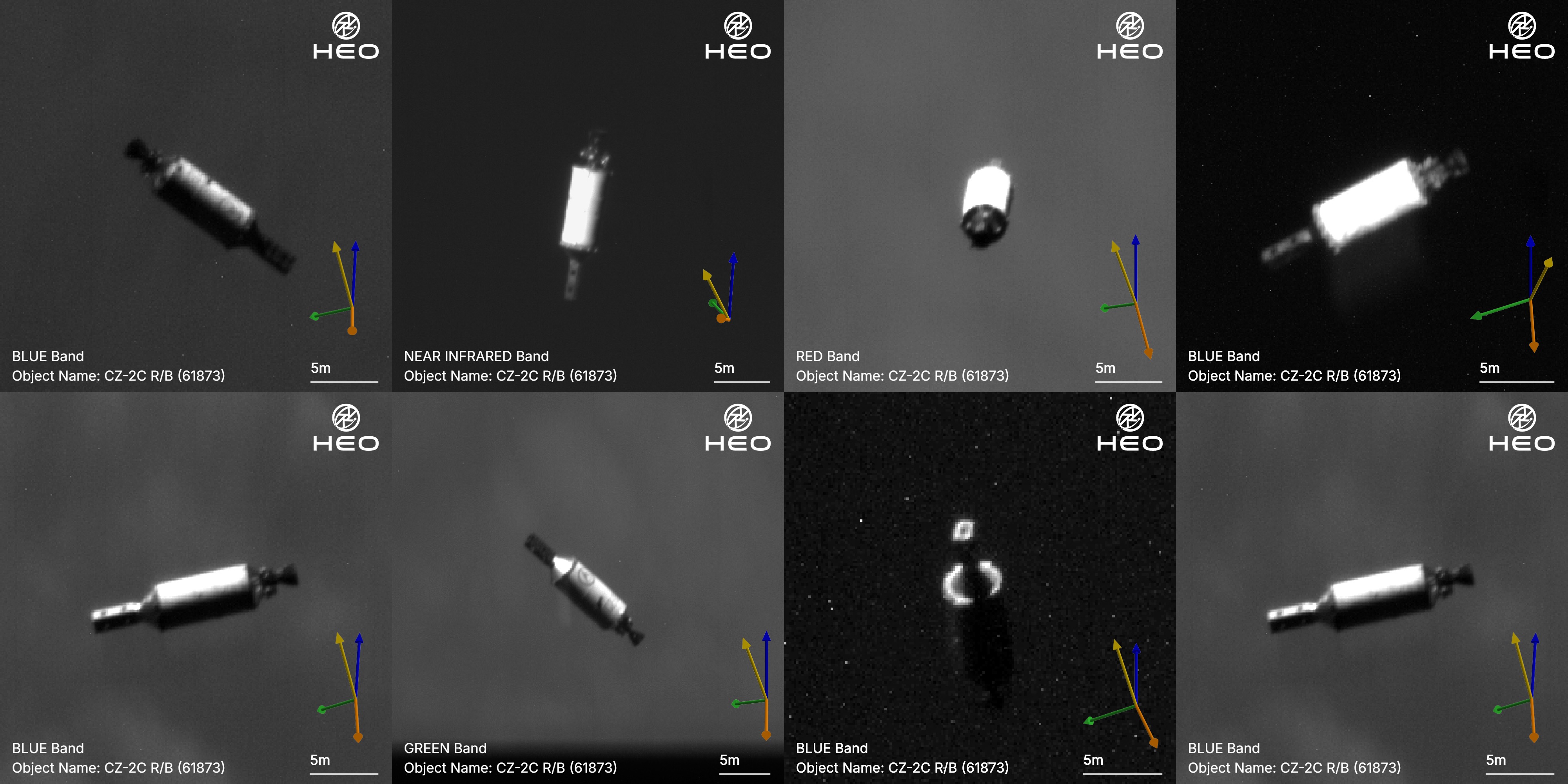
In its September 14 account, HEO reports two proximity campaigns by Continuum-1 around a noncooperative CZ-2C rocket body, with Satellogic and UNSW Canberra Space participating. The company describes approximately 78 hours within 100 kilometres and 12 hours within 50 kilometres across the campaigns, with imagery reaching seven centimetres per pixel. This is a report about August and early September observations, not a new October mission. The published account supports a specific inspection campaign rather than universal access to any requested object. Read the primary source account.
More time changes the observation opportunity
A longer observation window can provide several views under different illumination and relative orientation. That helps distinguish a persistent feature from an artifact of a single frame. It does not remove every ambiguity. Image resolution describes sampling at the target; it is not a general accuracy statement for dimensions, object identity or an inferred function. Those analytical outputs need their own uncertainty and a record of the observations used to produce them.
HEO attributes the imagery to controlled geometry, lower relative velocity and active focusing. The practical significance is the ability to shape the conditions of collection rather than accept only the geometry of a natural encounter. An outside reader still lacks a complete maneuver and calibration record. The public imagery can illustrate what the supplier reports seeing, while a customer requiring a consequential assessment would need to examine the underlying observations, processing and confidence attached to the claimed features.
Reusing a spacecraft has an operating cost
The company says Continuum-1 was not designed as a dedicated proximity-operations vehicle. Repurposing an existing spacecraft can create an inspection opportunity without launching a new inspector for that particular object. It also uses planning effort, fuel and time that belong to the spacecraft’s broader mission. The release describes disciplined fuel management but does not provide the full resource budget. A successful campaign therefore does not establish that every similar inspection would be inexpensive or operationally available.
For a customer, the relevant comparison includes how often a useful approach is feasible, the time needed to prepare it and what other observations are displaced. A service can offer excellent imagery for a selected object while having limited availability for another orbit or deadline. Making those constraints explicit would help customers distinguish the quality of an individual collection from the capacity and responsiveness of the network as a whole. Both matter, but they answer different procurement and mission-planning questions.
Preserve the difference between imagery and interpretation
Repeated views may support a more complete exterior model or a better estimate of motion. The campaign account also includes a three-dimensional model created from imagery and open-source information. Such a model should remain identified as an analytical reconstruction, rather than be presented as a direct photograph of every represented surface. That distinction lets a reader understand which details were observed and which depend on processing, assumptions or supporting information from elsewhere.
The release reports more than 50 imaging missions across the campaigns. A mission count describes collection activity; evaluating its analytical value still requires examining what each observation adds to the customer’s question.
The immediate contribution is a documented example of adapting an in-orbit asset for sustained inspection of a particular object. The broader possibility is a collection network in which software and mission planning expand the work existing sensors can perform. Progress should be assessed through repeatable campaigns, disclosed observation conditions and validated analytical outputs, alongside safe operation and resource use. The next meaningful evidence is not simply a sharper image: it is a clearer account of how reliably the service can answer a customer’s specific question, within an achievable collection window.
Source organizations: HEO, Satellogic, UNSW Canberra.
Original image montage
This analysis draws on the public sources linked in the text. Send corrections to [email protected].